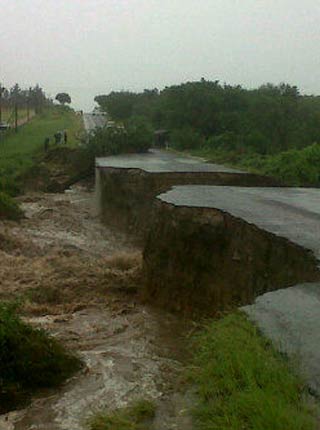
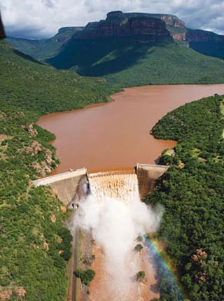
Dec 2010 vs Jan 2012 (Courtesy of DuQues )
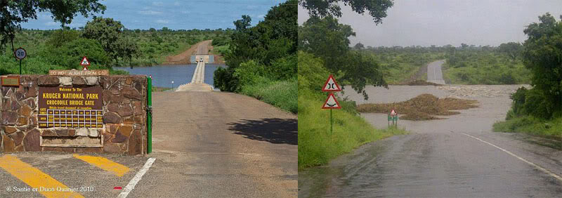
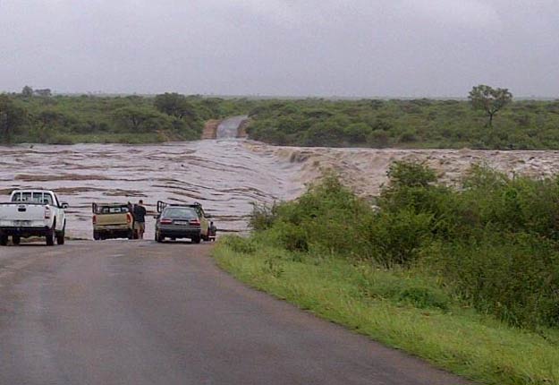
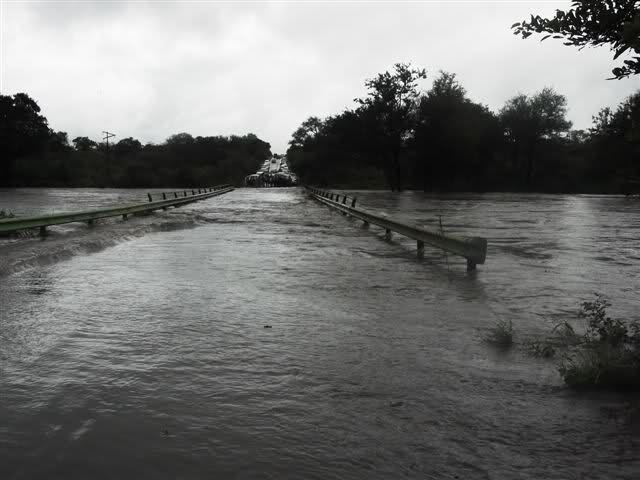
All thos pics we thought were the LS low level bridge were actually Croc Bridge!

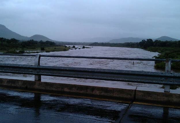


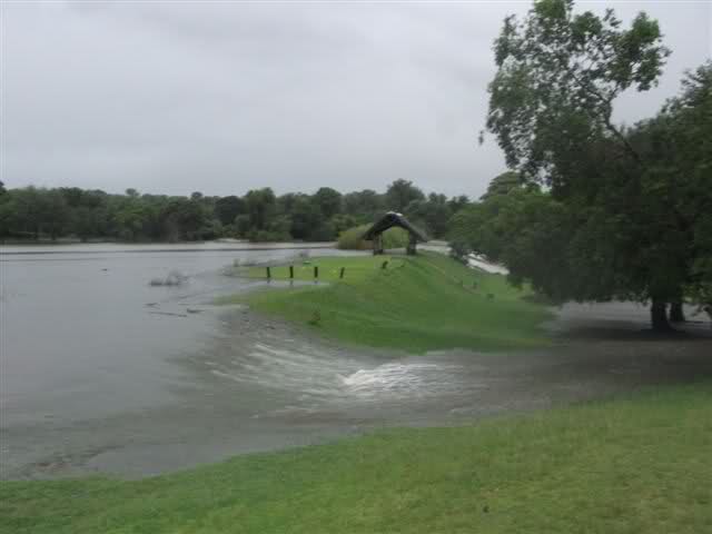
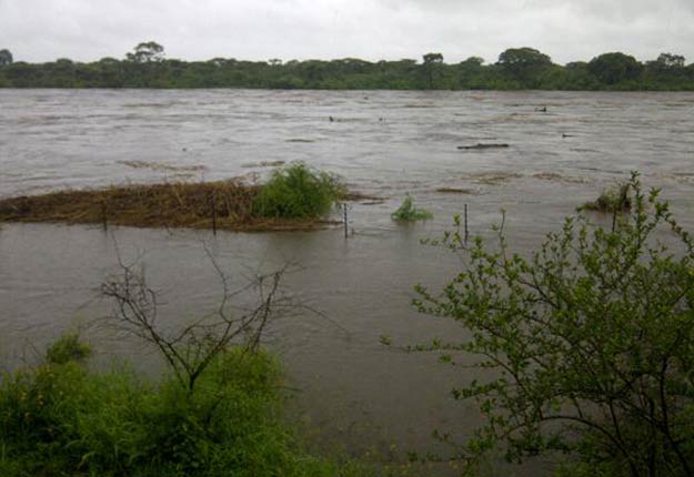
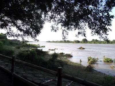
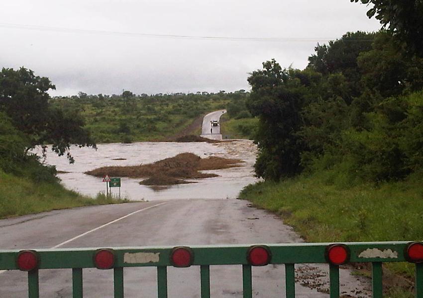
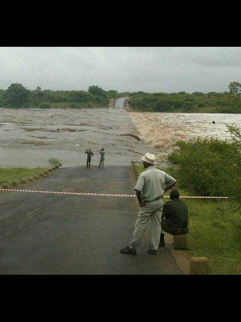
ecojunkie wrote:Photos taken late yesterday afternoon at Lower Sabie
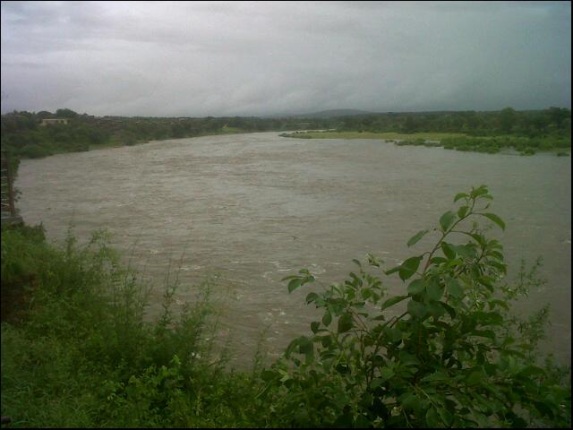
From Keartland guest house looking north - where I am standing was under water the previous evening!
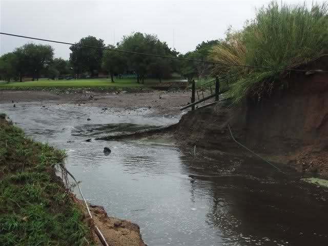
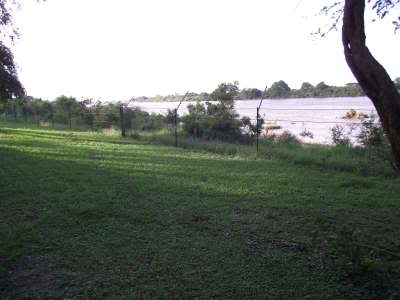
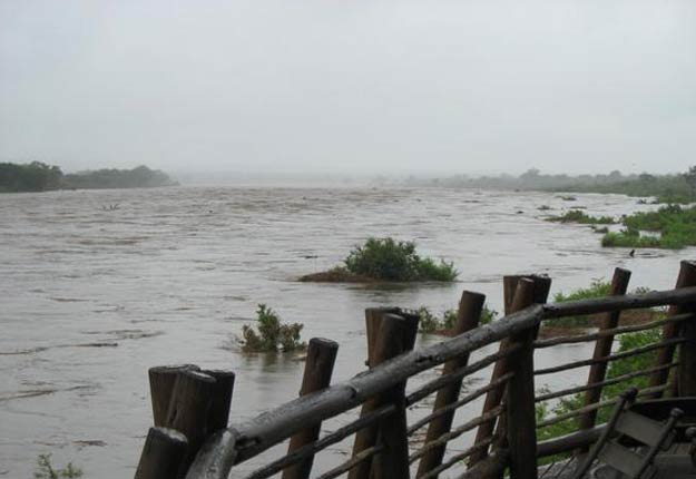
Taken looking along the fence - the line in the grass indicates the water level (approx half-way across grass)
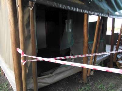
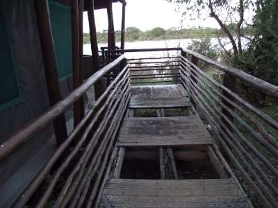
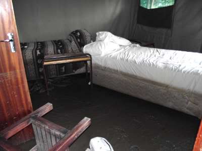
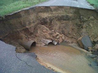
Damage in the safari tents
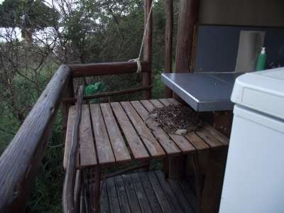
Showing how high the water reached there - debris on the table
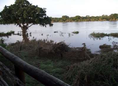
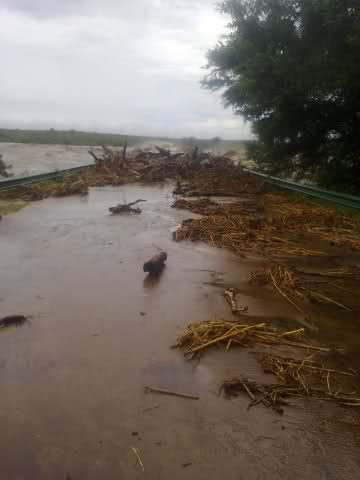
Debris on the fence
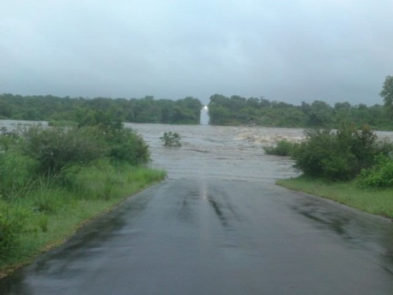
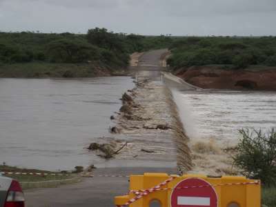
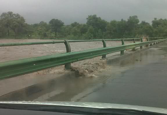
And finally the bridge shortly before 9am this morning